Harnessing Spatial Computing: Transform Urban Planning Today
Imagine walking through your city, your smartphone highlighting hidden opportunities, or seeing your favorite park reimagined in real-time. Welcome to the world of mixed reality and spatial computing, where digital overlays enhance our understanding of the spaces we inhabit. As urban challenges grow increasingly complex, leveraging these cutting-edge technologies can revolutionize urban planning and community engagement, fostering more inclusive, sustainable cities.
Understanding Spatial Computing: A Tech Genesis
Spatial computing encapsulates a spectrum of technologies—augmented reality (AR), virtual reality (VR), and the Internet of Things (IoT). At its core, it refers to digital experiences that integrate physical space with the digital realm. With applications spanning from gaming to architecture, this technology is starting to permeate urban planning, enabling planners to visualize projects more dynamically.
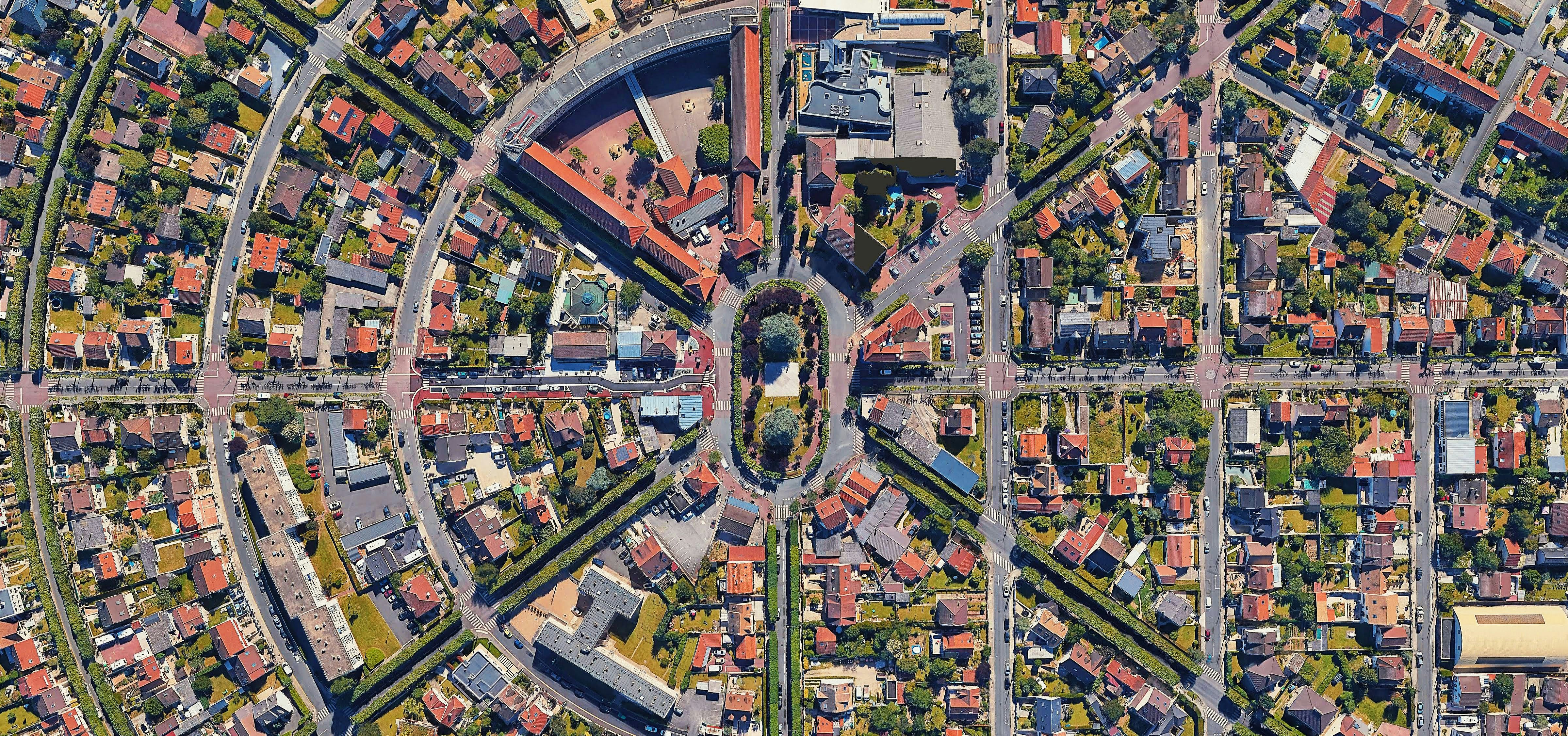
Take a look at the urban landscape through the lens of spatial computing. Typically, when city planners visualize a new development, they rely on 2D blueprints or models. This traditional approach can lead to misinterpretations and underappreciation of community dynamics. By employing spatial computing, these planners can now create immersive 3D visualizations that elevate stakeholder interaction and facilitate informed decision-making.
The increased adoption of digital twins, a vital aspect of this ecosystem, has also transformed how cities approach urban development. Digital twins are real-time digital replicas of physical assets, such as buildings and parks, and can simulate various scenarios to predict outcomes. For a deeper understanding of this transformative technology, check out this insightful guide on digital twin technology.
Community Engagement: Bridging the Gap with Mixed Reality

Community engagement has historically been fraught with challenges—consultation meetings often feel exclusive, and residents may not be able to visualize the potential implications of new developments. However, mixed reality tools can effectively bridge this gap between planners and residents, making participation more democratic and inclusive.
Through AR applications, city planners can present proposed projects directly onto physical sites, allowing residents to experience the impact of urban changes firsthand. For instance, a proposed redevelopment can be visualized in the context of a neighborhood, sparking conversations and generating feedback that might not happen in traditional meetings.
Moreover, platforms utilizing spatial computing can empower community members to provide input meaningfully. Imagine an app that overlays proposed green spaces on users' smartphones as they walk through their neighborhoods. This interactive method encourages feedback and fosters ownership of the community's development. As cities adapt to a more participatory model, these technologies can enrich the dialogue between citizens and decision-makers.
Urban Planning in Action: Real-World Examples

Innovative cities across the globe are already utilizing mixed reality in urban planning. In cities like Helsinki, planners employed VR to showcase new transportation networks and connecting pathways. This approach helped residents visualize how these changes would shape their daily lives while capturing invaluable public input.
In a more localized context, cities like San Francisco have harnessed tools like CityEngine to enable planners to simulate urban environments and assess the impacts of new developments on existing urban systems. Such simulations allow stakeholders to explore urban interactions comprehensively, reinforcing the need for informed planning rooted in community involvement.
Enhancing Urban Mobility with Spatial Computing
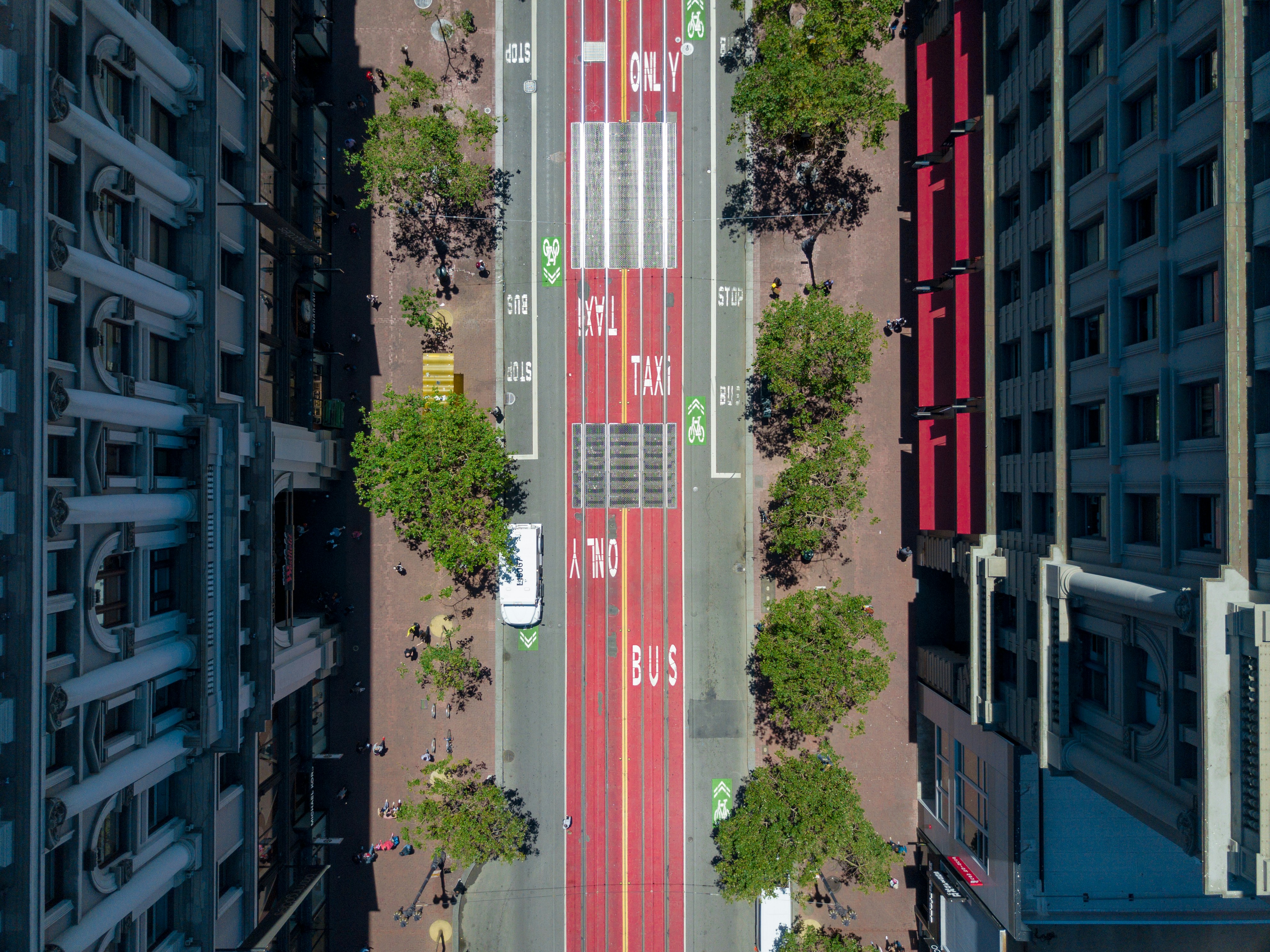
Urban mobility represents another facet where spatial computing holds transformative potential. By analyzing real-time data and visualizing transportation flows through AR, planners can create more effective public transportation systems, ensuring that urban spaces are accessible to all citizens.
The city of Toronto recently employed such a tool called Miovision, which uses powerful algorithms to track pedestrian flows, optimizing traffic light patterns based on real-time usage. By integrating these insights into planning models, cities can enhance overall mobility while reducing congestion and emissions, ultimately leading to greener urban environments.
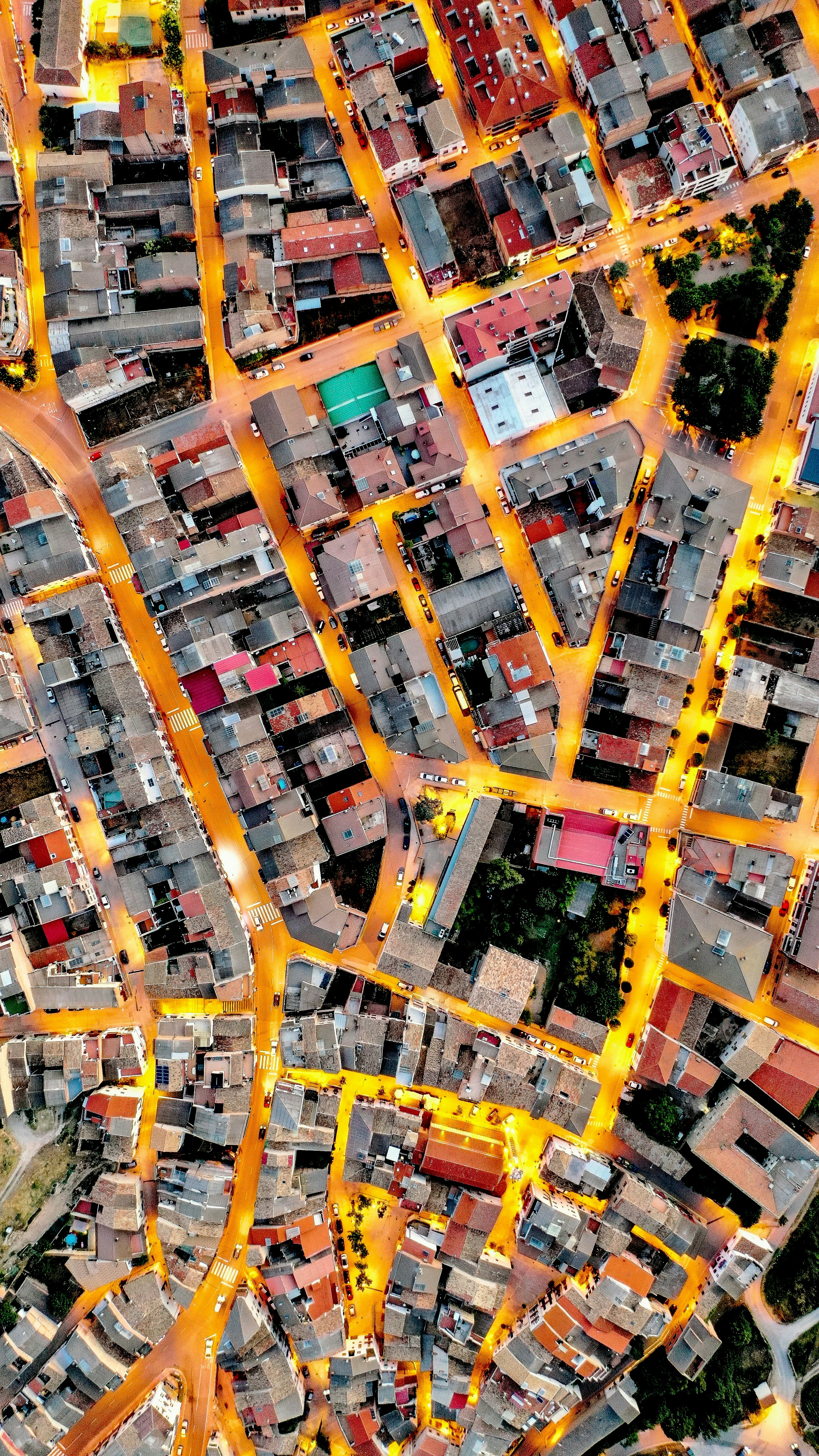
Digital Twins: Revolutionizing Urban Management

Digital twins provide an unparalleled opportunity for cities to manage their resources more effectively. Imagine a scenario where a city’s energy consumption can be monitored and adjusted in real-time through its digital twin. By using predictive analytics, planners can schedule maintenance, predict failures, or even optimize energy usage on demand.
Several leading cities, including Singapore and Amsterdam, are at the forefront of incorporating digital twins into urban management strategies. They’ve modeled everything from energy systems to water management and applications for smart traffic management. A comprehensive look into these digital ecosystems can be found in this article on algorithmic urbanism.
The Role of Citizen Feedback in Digital Twin Systems
What makes digital twin applications particularly potent is their ability to integrate community feedback in real-time. Platforms that visualize urban models allow citizens to denote areas of concern directly, giving city planners valuable contextual data to make informed decisions. This reciprocity between city officials and community members strengthens urban ties, ultimately creating more resilient neighborhoods and fostering trust.
The Future of Community-Assisted Urban Planning

As we stand on the brink of this digital revolution, we must consider its impact on urban planning holistically. The transition toward intelligent cities supported by spatial computing can optimize resource allocation, enhance the quality of life, and improve environmental stewardship.
However, ethical questions arise as we delve deeper into these technological innovations. With great power comes great responsibility. City planners must prioritize inclusivity, transparency, and ethical governance as they harness spatial computing and digital twins for urban development.
For instance, while it’s important to gather a variety of opinions from citizens, care must be taken to ensure that those with fewer resources or less access to technology don’t get left behind. Initiatives must proactively engage marginalized communities to create equitable urban spaces.
Next Steps: Embracing Spatial Computing for Inclusive Urban Futures
Embracing spatial computing within urban planning requires both a mindset shift and actionable strategies. As cities transition toward smarter management, stakeholders from all sectors—government, private, and civil society—must advocate for wide-ranging accessibility to technology.
City planners seeking to incorporate these tools should:
-
Invest in Training: Equip city officials and community members with the necessary skills and knowledge to utilize mixed reality technologies effectively.
-
Facilitate Community Workshops: Organize events where citizens can interact with digital models, fostering dialogue about upcoming projects.
-
Encourage Cross-Sector Collaboration: Collaborating with tech companies and urban designers can ensure a robust technological infrastructure, making the city adaptive to future challenges.
-
Evaluate Data Responsibly: Establish frameworks for the ethical use of data collected through digital twins and community engagement tools to protect citizens’ privacy while enhancing urban experiences.
The journey toward an integrated urban environment that leverages spatial computing is not merely technological—it also fundamentally hinges on human connectedness. By creating spaces where all voices can be heard, cities can cultivate a culture that champions innovation without leaving anyone behind.
Final Thoughts

As spatial computing continues to evolve, its potential to retain the pulse of urban life is monumental. By democratizing urban planning and cultivating strong community ties, cities can embrace the innovations of mixed reality while ensuring a sustainable, inclusive environment for future generations. With technology as the thread that connects us, urban planning can become a platform for shared vision and action. Together, let’s unlock the power of technology to enhance our cities.